End of the Lull, Plus Storm-Tracking Resources
 Courtesy Wikipedia
We experienced a brief lull in Atlantic hurricane activity in August—the month that is typically the peak of the season. This might seem especially surprising given that given that NOAA predicted a historically active hurricane season for the Atlantic. A combination of factors likely led to the lull: an unusual African monsoon season, warm air high above the tropical Atlantic and a shift in cyclical global rainfall patterns.
But the lull didn’t last long, as evidenced by the flooding brought by Hurricane Francine, and now Florida is bracing for Helene, which is expected to deliver winds of 115 mph when it makes landfall.
See More Hurricane Season Insights
Francine Soaks the South, Gordon Goes Zombie and Helene Takes Aim
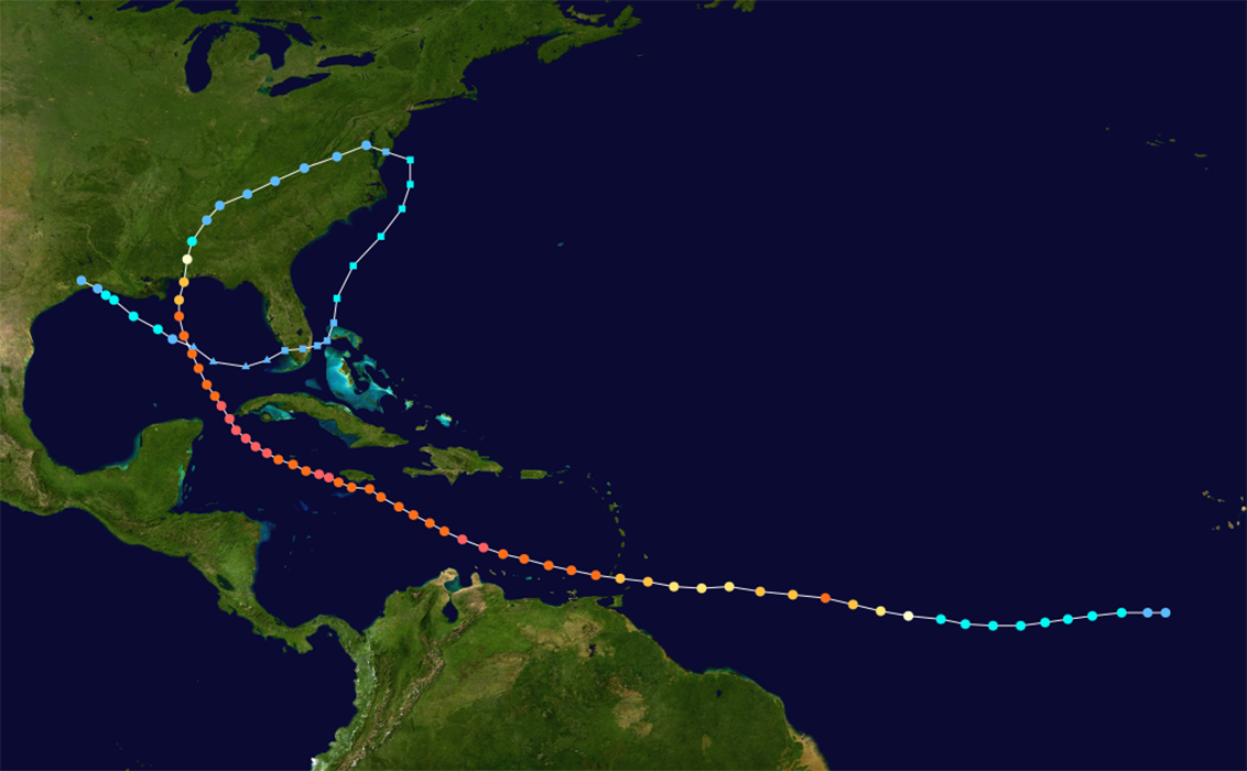
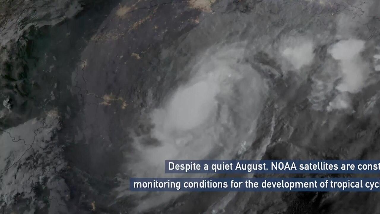
The sixth named storm and fourth hurricane of the 2024 Atlantic hurricane season, Category 2 Francine made landfall in Terrebonne Parish, Louisiana, on September 11. It proceeded to dump rain across Louisiana, Mississippi and other areas of the south, causing power outages and moderate damage.
 NOAA
NOAA
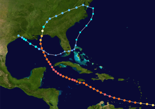
While Tropical Storm Gordon initially posed a threat to the Carolinas, it stalled out over the Atlantic and was declared a dead storm. There was speculation it could become a “zombie storm” by regaining strength and coming back to life. This phenomenon has happened before with Tammy in 2023 and Paulette in 2020, when the National Weather Service coined the term to describe storms that regenerate themselves. Hurricane Ivan (2004) was also a zombie storm, looping back to strike the Gulf coast for a second time.
Gordon might be gone, but the next threat for the mainland U.S. this season is Helene. Current forecasts show the storm intensifying to a Category 3 later this week, with Tallahassee, Florida, as the predicted center of its path. Thousands have already been forced to evacuate.
Storm-Tracking Blogs to Follow
Do you geek out over reading about hurricane predictions and data? Check out these storm tracking weather blogs for daily details:
Focused on tropical activity in the Atlantic, Caribbean and Gulf of Mexico, The Eyewall was founded in 2023 by meteorologists Matt Lanza and Eric Berger. Aside from providing frequent updates on storm activity, the website is also an excellent resource for hurricane preparedness and information on evacuation.
A hurricane specialist and storm surge expert for Local 10 News in Miami, Michael Lowry previously worked with FEMA and The Weather Channel. He updates his Substack daily with an approachable take on the science behind hurricanes, the climate and the ocean.
A senior research associate at University of Miami’s Rosenstiel School of Marine, Atmospheric and Earth Science, Brian McNoldy has been sending out tropical Atlantic activity updates since 1996. His posts offer brief summaries of recent and projected activity tailored to the general public, coastal residents and other weather enthusiasts.
Created by Levi Cowan in his college dorm room more than a decade ago, Tropical Tidbits is a great resource for those who prefer to watch videos rather than read their hurricane forecasting information. Cowan holds a Ph.D. in meteorology from Florda State University and is a certified tropical cyclone forecaster at the Joint Typhoon Warning Center.
Focused on providing hurricane updates through the lens of climate change, “Eye on the Storm” is a series of posts for Yale Climate Connections, an initiative of the Yale Center for Environmental Communication. Weather Underground co-founder Dr. Jeff Masters and meteorologist Bob Henson offer timely analyses that blend meteorology and climatology.
Contact Us
If in doubt, we can help survey your property for you. Our firm has performed rapid assessments and building safety inspections for a variety of clients on a range of building types across the United States. We are ready to assist before, during and after any event to help keep your facility and its occupants safe and your business operations running smoothly.


