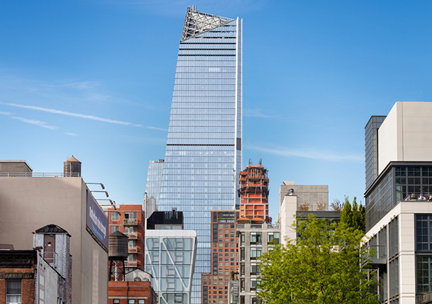
Steve Freihon/Related-Oxford
New York, New York
Global experience.
Regional perspective.
Local impact.
New York, New York
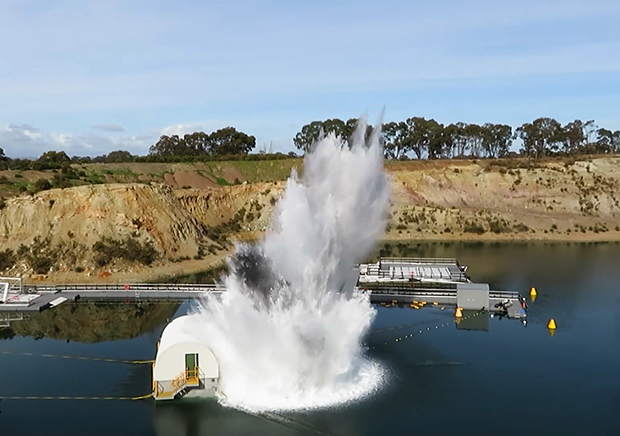
Australia
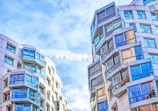
London, United Kingdom
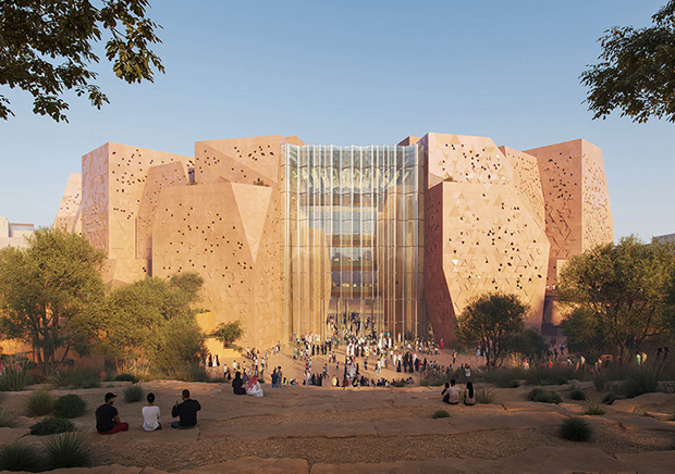
Diriyah, Riyadh, Saudi Arabia
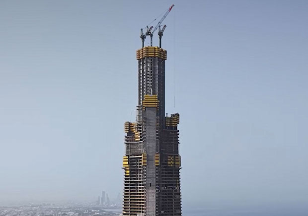
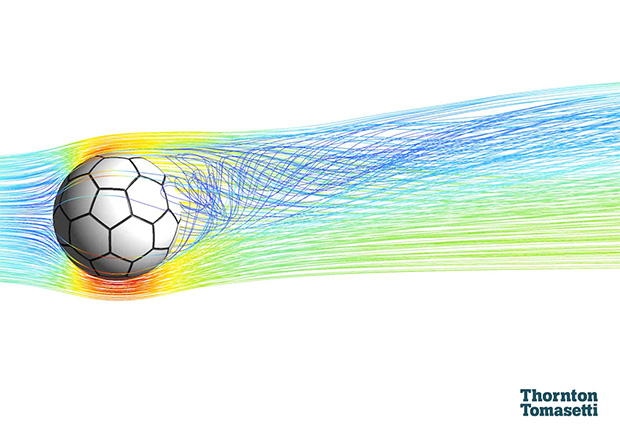
Creating 3D models from photographs allows our engineers to assess site conditions economically – and from a safe distance.

 James Bruce/WFAA
Digital imaging technology lets us extract three-dimensional measurements from two-dimensional data. Using drones, high-resolution digital cameras and cloud computing, we can produce models of building sites, construction progress and property-loss events from a sequence of photographs.
Photogrammetry uses special software to stitch together a series of digital photographs to produce a 3D model. And once we’ve created a model, we can rotate it, “fly” through it, and manipulate it in countless other ways. That’s the beauty of photogrammetric models: they help us analyze data, improve safety, identify damage, reduce costs and assess conditions – for all or part of any site:
Featured Project
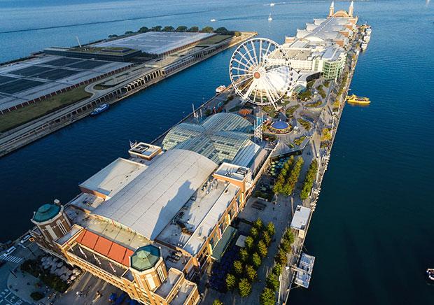
Navy Pier Rebuilding Chicago’s #1 tourist destination wasn’t easy. We pulled back layers of history, went under and over the water, and wove in reinforcements.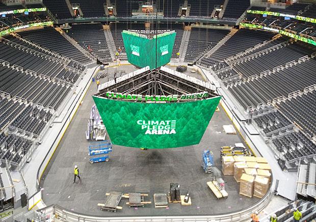
Featured Project
Climate Pledge Arena From world’s fair pavilion to world-class arena – we provided structural and construction engineering to transform a historic venue into a first-class sports and event facility.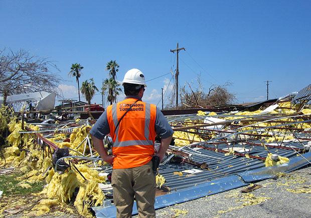
Featured Project
Post-Hurricane Claims Investigations Stronger hurricanes are devastating coastal communities. In the aftermath, we act fast and get it done right to help rebuild. For the future, we are working to better protect them.