Steve Freihon/Related-Oxford
New York, New York
Global experience.
Regional perspective.
Local impact.
New York, New York
Australia

London, United Kingdom

Diriyah, Riyadh, Saudi Arabia
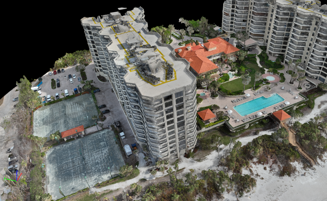
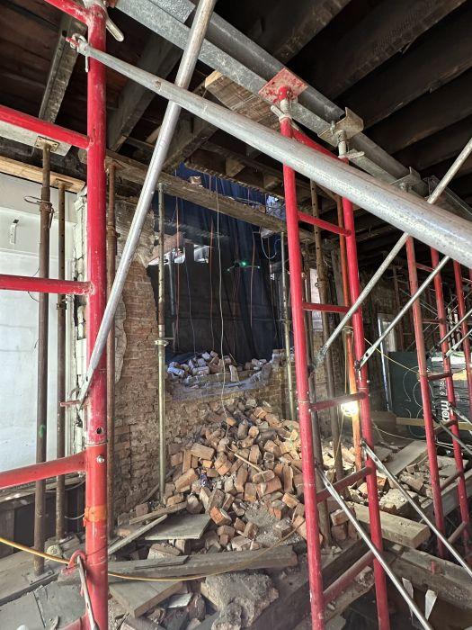
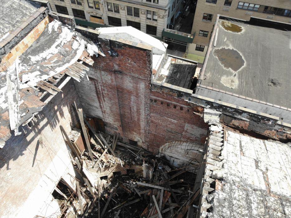
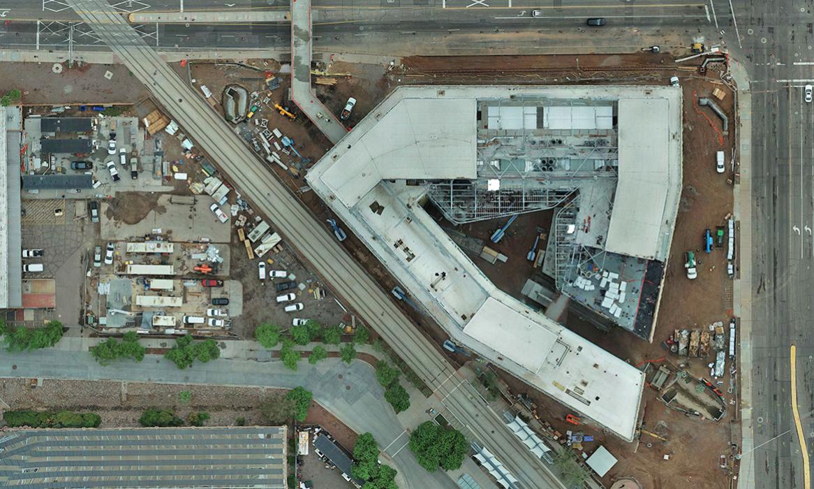
Our licensed drone operators have the expertise, skills and equipment to capture the highest-quality images for your structural inspections, forensic investigations and 3D models.


Uncrewed aerial vehicles. UAVs. Drones. They’re more than a trend; they’re transforming industries at lightning speed. Why? Because drones give us superpowers: The power to inspect damaged or incomplete structures without risking injury. The precision to capture high-resolution images and video of the tiniest details and large-scale damage in areas that were once out of reach. The ability to see in infrared. Drones are ready for action in minutes and can reduce costs by up to 80% compared to conventional inspection methods – delivering superspeed and super savings.
What Can Drones Do for You?
Drones are revolutionizing how we capture, assess, and analyze buildings and structures. Their high-resolution imagery and video open up countless possibilities:
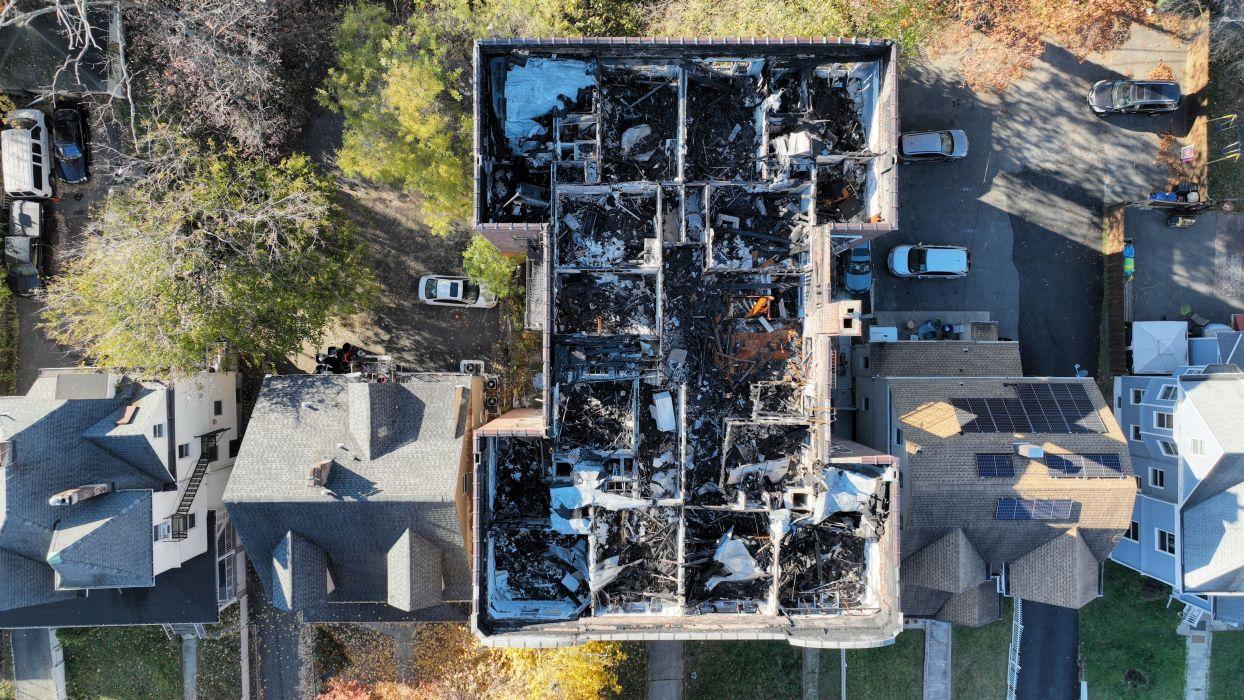
Above: A Church in Southern Maine. We used drone photogrammetry to create a point cloud, a 3D model of the structure, and high-quality orthomosaic images of each elevation. The orthomosaic images were used to create repair drawings annotated by our in-house restoration experts. A local contractor will complete the work and help preserve the structure for future generations.
Why Choose Thornton Tomasetti?
To reap all the benefits of using drones, you need a partner with the knowledge, access, licenses, skills, resources and influence to get the job done right. Our diverse staff of highly trained engineers, architects and building experts ensures that we capture the right images and extract all crucial data from them, and that our analyses are comprehensive and precise.
We’re experts at manually controlling drone flights or using flight automation software to collect consistent, uniform images. Our more than 40 pilots, across 15 U.S. offices, are authorized to operate in any state. And all Thornton Tomasetti UAV pilots are licensed under FAA Part 107.
Our years of experience, as well as our familiarity with local agencies and practices, mean that we’re often able to secure waivers to operate in restricted areas like the space around airports. And we have liability insurance to cover all aspects of drone operation.
Why wait? Contact any member of our team to find out how Thornton Tomasetti can get you airborne!
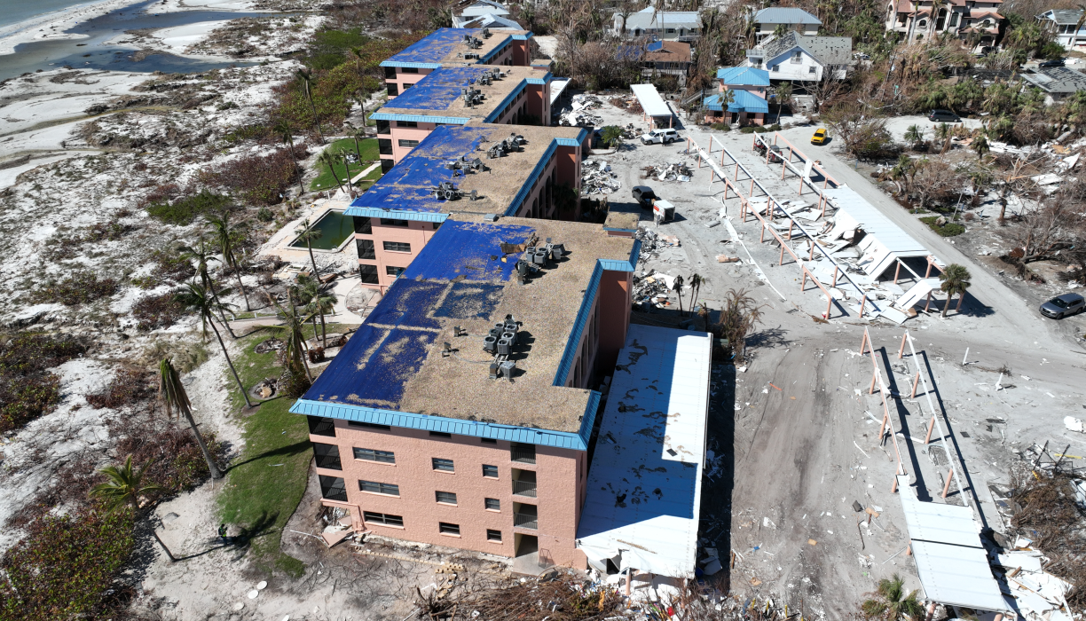
Featured Project
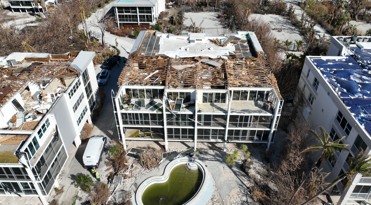
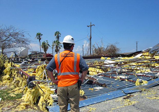
Post-Hurricane Claims Investigations Stronger hurricanes are devastating coastal communities. In the aftermath, we act fast and get it done right to help rebuild. For the future, we are working to better protect them.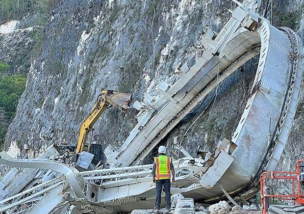
Featured Project
Arecibo Radio Telescope What began as a maintenance project quickly shifted to a recovery and forensic investigation.Insight
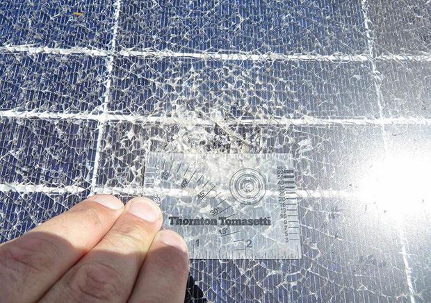
How Hail Affects Roofing Materials