Photogrammetry
Creating 3D models from photographs allows our engineers to assess site conditions economically – and from a safe distance.
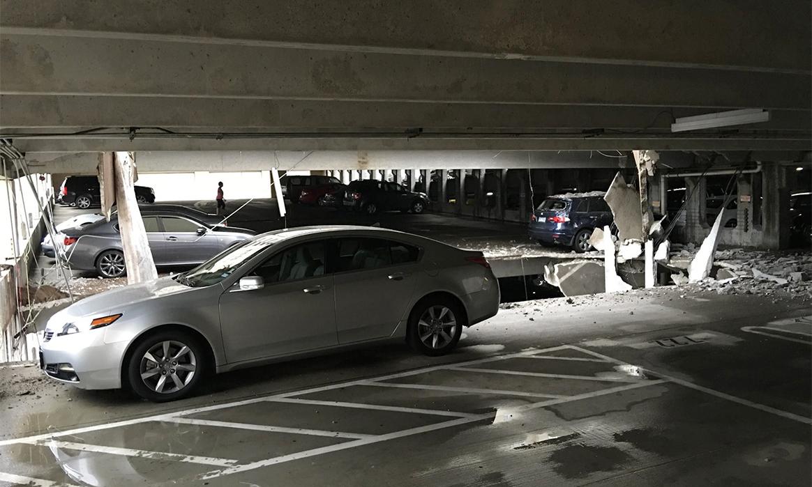 James Bruce/WFAA
Digital imaging technology lets us extract three-dimensional measurements from two-dimensional data. Using drones, high-resolution digital cameras and cloud computing, we can produce models of building sites, construction progress and property-loss events from a sequence of photographs.
Here’s How
Photogrammetry uses special software to stitch together a series of digital photographs to produce a 3D model. And once we’ve created a model, we can rotate it, “fly” through it, and manipulate it in countless other ways. That’s the beauty of photogrammetric models: they help us analyze data, improve safety, identify damage, reduce costs and assess conditions – for all or part of any site:
- Any trained field technician can record any site using a digital still or video camera.
- Cameras mounted on drones or robotic vehicles can capture sites that are too dangerous to enter.
- Use of machines speeds up site documentation and eliminates the need for costly, time-sensitive laser scanning.
- Specialized software can extract still images from video recordings and use them for photogrammetric analysis.
- Fully automated drone flights ensure precise images and eliminate user error.
Related Capabilities
Technology
Related News & Events
News
Structure Magazine: Preserving a Landmark


