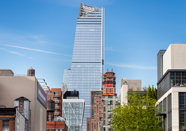
Steve Freihon/Related-Oxford
New York, New York
Global experience.
Regional perspective.
Local impact.
New York, New York
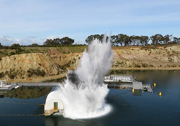
Australia
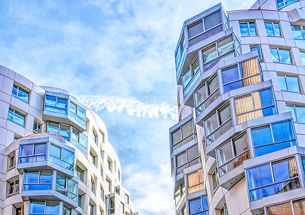
London, United Kingdom
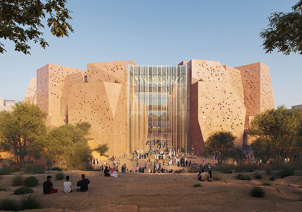
Diriyah, Riyadh, Saudi Arabia
A fragmented stretch of Lisbon’s riverfront is getting a second life, with 1,400 new homes, green corridors, climate resilience, and pedestrian-friendly public spaces woven into a single, unified urban landscape.

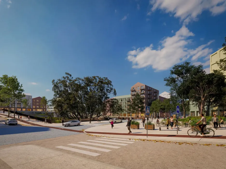
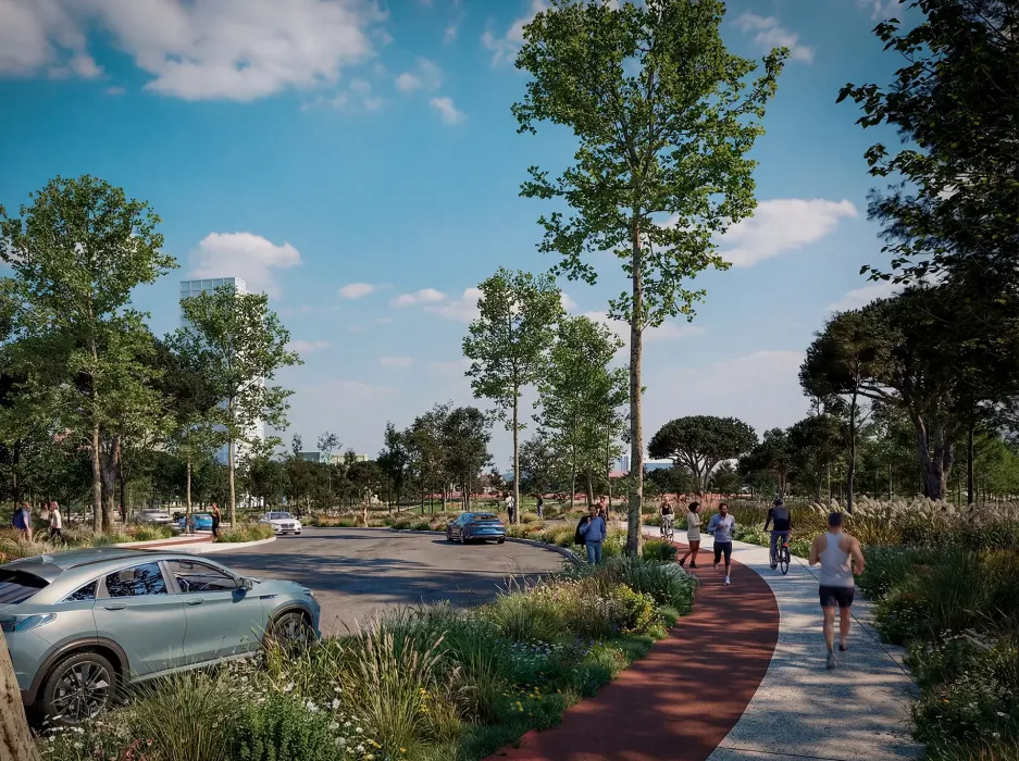
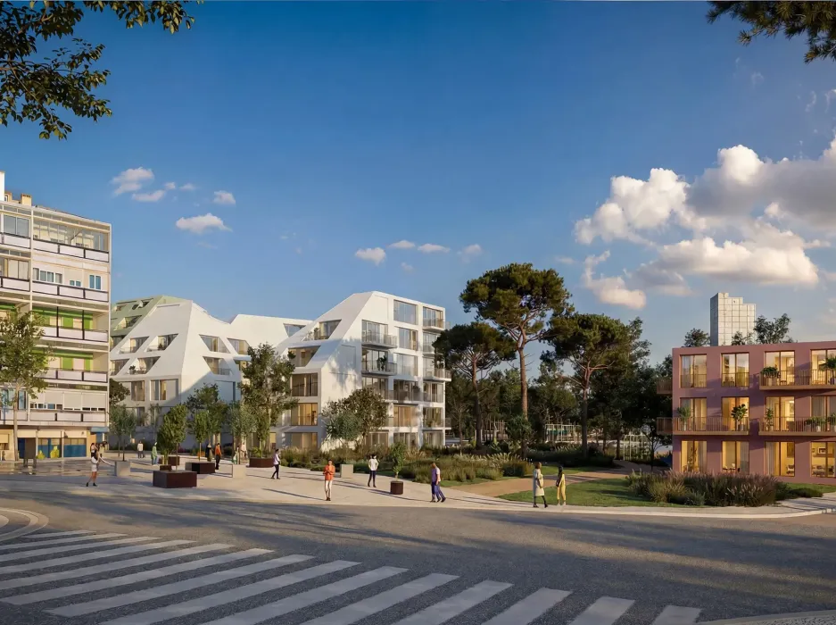
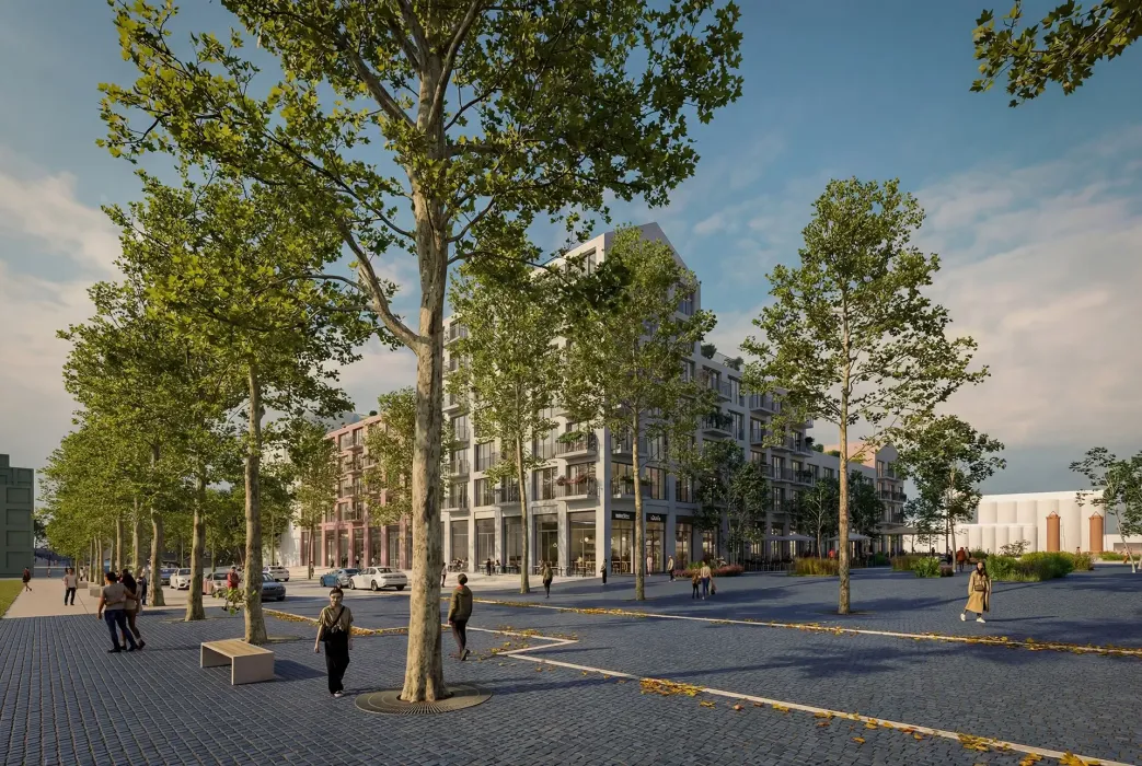
During the 18th and 19th centuries, what began as farmland on Lisbon’s eastern waterfront was gradually reshaped by heavy industrialization, leaving behind a layered landscape of factories, infrastructure, and fragmented urban fabric. The newly approved Marvila Masterplan is a road map to the area’s next major transformation: creation of a mixed-use, landscape-driven neighborhood centered on housing, public space, climate resilience, and pedestrian connectivity.
We collaborated with MVRDV, OODA, and LOLA Landscape Architects to develop the plan, which will introduce approximately 1,400 homes, as well as commercial, innovation, and community spaces, across four interconnected districts.
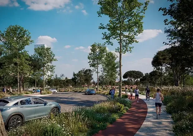
The plan will reconnect what has long been divided. It will transform existing barriers, including railway infrastructure, into public assets through elevated decks, pedestrian corridors, parks, and soft mobility routes, which encourage walking and cycling instead of driving. A central green spine will link all four districts, creating continuous public space while supporting biodiversity, stormwater management, and year-round outdoor activity.
By integrating infrastructure, landscape, and architecture, the project will create a district that feels cohesive, resilient, and livable instead of pieced together over time.
We’re providing sustainability master planning, structural engineering, mobility planning, acoustics consulting, and multihazard climate risk and resilience assessment services for the development. Our scope includes sitewide energy, water, and waste strategies; passive building and site-design solutions; renewable energy integration; resilient infrastructure planning; emergency preparedness; and pedestrian wind comfort analysis using computational fluid dynamics.
Nature-based design plays a major role throughout the project. The green corridor will function not only as public space but also as ecological infrastructure that can absorb stormwater, reduce heat impacts, and improve long-term climate adaptability.
The plan aims to create a neighborhood that remains active throughout the day and across seasons. A diverse housing mix, heritage preservation, commercial and innovation spaces, and community-focused public amenities are all intended to support social inclusion and year-round activity. The redevelopment will also preserve and incorporate historical elements from the site’s industrial past rather than demolish or remove them.





News
Marvila Masterplan Advances Lisbon’s Riverfront Transformation